
This past Wednesday brought with it some unusual weather elements that are not known to be part of December.
Weatherology Meteorologist Mike Carow tells Raccoon Valley Radio there was record-breaking daytime highs across the entire state of Iowa Wednesday, with the highest temperature recorded at 76-degrees in Chillicothe, in southeastern Iowa. He points out the humidity was also unseasonable, with dew points in the 60s, which created the line of storms that went through the Raccoon Valley Radio-listening area between 4 and 8pm.
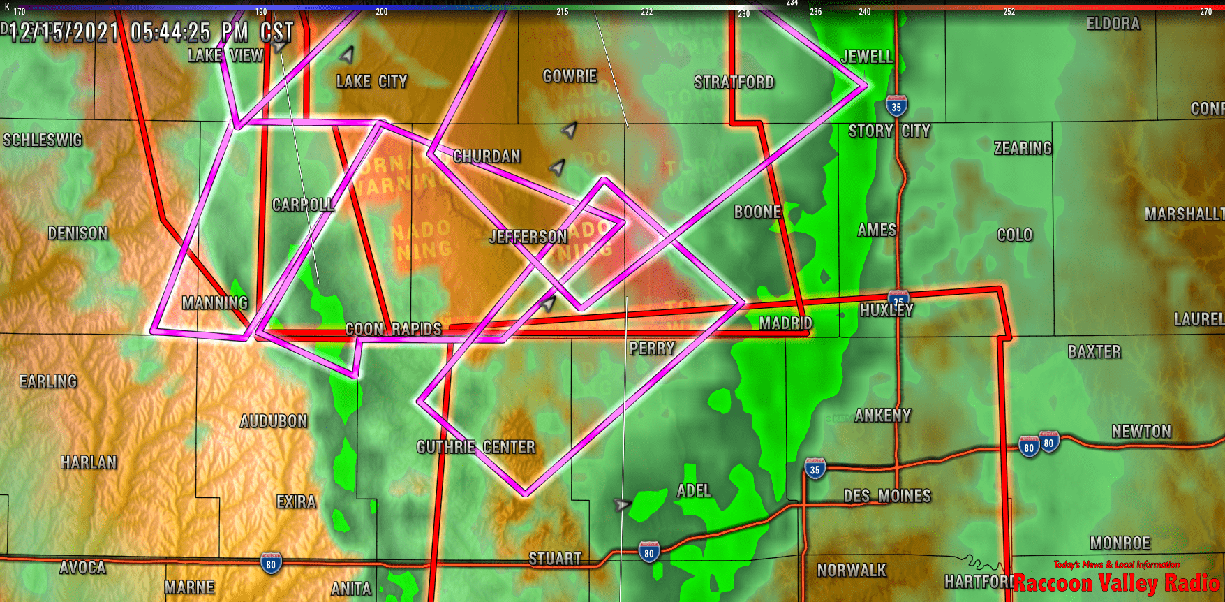
Carow says there’s the possibility of at least four tornadoes around west central Iowa and he states that since 1950, Iowa has only had six reported tornadoes in December, with the last one being recorded in 2017. Carow notes the high wind speed prior to the storms arriving in Iowa also complicated the situation.
“Even if they were just brief tornadoes, they were moving so fast there was no chance of escape, especially as we were getting close to dark. It was a very serious situation across the region. The fastest forward moving of any of the storms, I say one storm there had a forward speed of over 100 miles per hour. So just some very serious storms racing across the region.”
Carow explains one key ingredient that all these Wednesday evening tornadoes needed in order to form.
“You know winds turning with tide. So at the surface we had winds pretty much straight out of the south during our warmest period of the day. But if you were able to get in an airplane and go above the surface, we had winds more out of the west and southwest. So with that turning of the winds with tide, that’s what gives the spin in the atmosphere to potentially drag down those tornadoes out of those storms that do form.”
Carow says temperatures are now back to more normal levels, around the mid to lower 30s, and after averaging about 0.5-inches of rainfall with these storms, there isn’t much precipitation in the forecast until Christmas Eve.