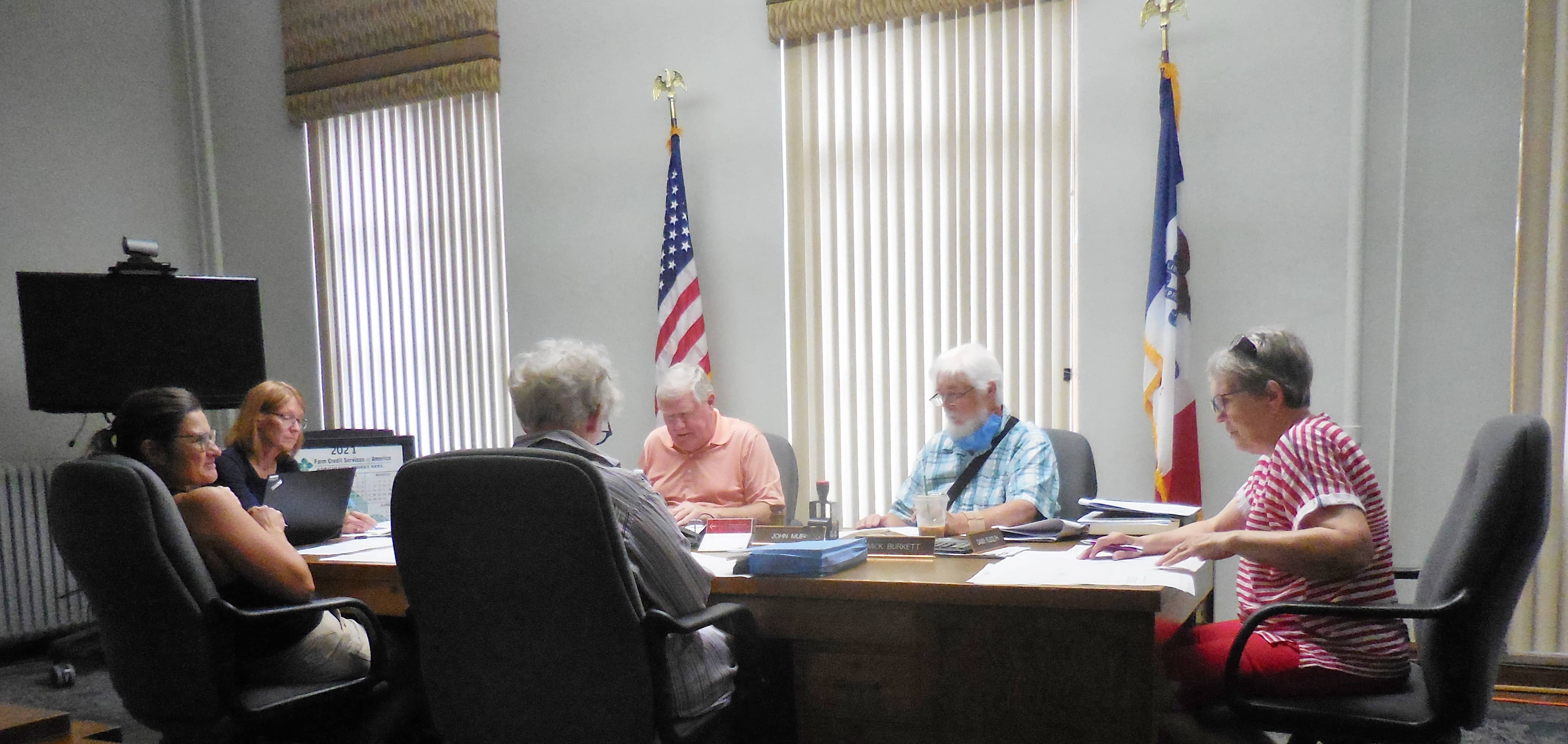
The Greene County Temporary Redistricting Commission met Wednesday.
The five-member commission started the meeting by designating Guy Richardson as the chair and Jane Heun as the secretary. The commission is charged with deciding on a county supervisor district boundary map, based on the 2020 U.S.Census.
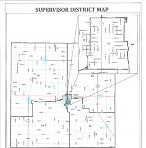
GIS Coordinator Michelle Fields presented five possible maps. Since there are five county supervisors, the total county population must by plus (+) or minus (-) 17 people from the ideal average population per district of 1,754. The total county population for 2020 was 8,711, which was a six-percent decrease from 2010. After about one hour of deliberation, the commission selected map 4 to present at a public hearing before recommending it to the County Board of Supervisors for final approval.
Richardson explained why the commission unanimously voted in favor for the fourth map.
“It is probably the closest (to the current 2010 map) and that makes it compact, as far as districts, as compact as we could get. And again the deviation in numbers of people in each district is the least in this particular plan.”
Richardson said he wasn’t concerned with the population drop in the 2020 census impacting the overall map they chose.
“Our GIS head Michelle (Fields) presents that to us pretty well. So those maps are pretty easy to look at. There were maps that looked pretty funky the way they came out with the boundaries, and we didn’t like a couple of those. Again this one (the fourth map) seem to fit the best.”
Additionally, the proposed map keeps each current supervisor in their respective district. A public hearing will be held on October 11th at 10am during the Greene County Board of Supervisors meeting. Following the hearing, the commission can push forward with its recommendation and the Supervisors can either accept or reject the proposed map. Click the link below to see the proposed map and how it compares to the 2010 map.